About
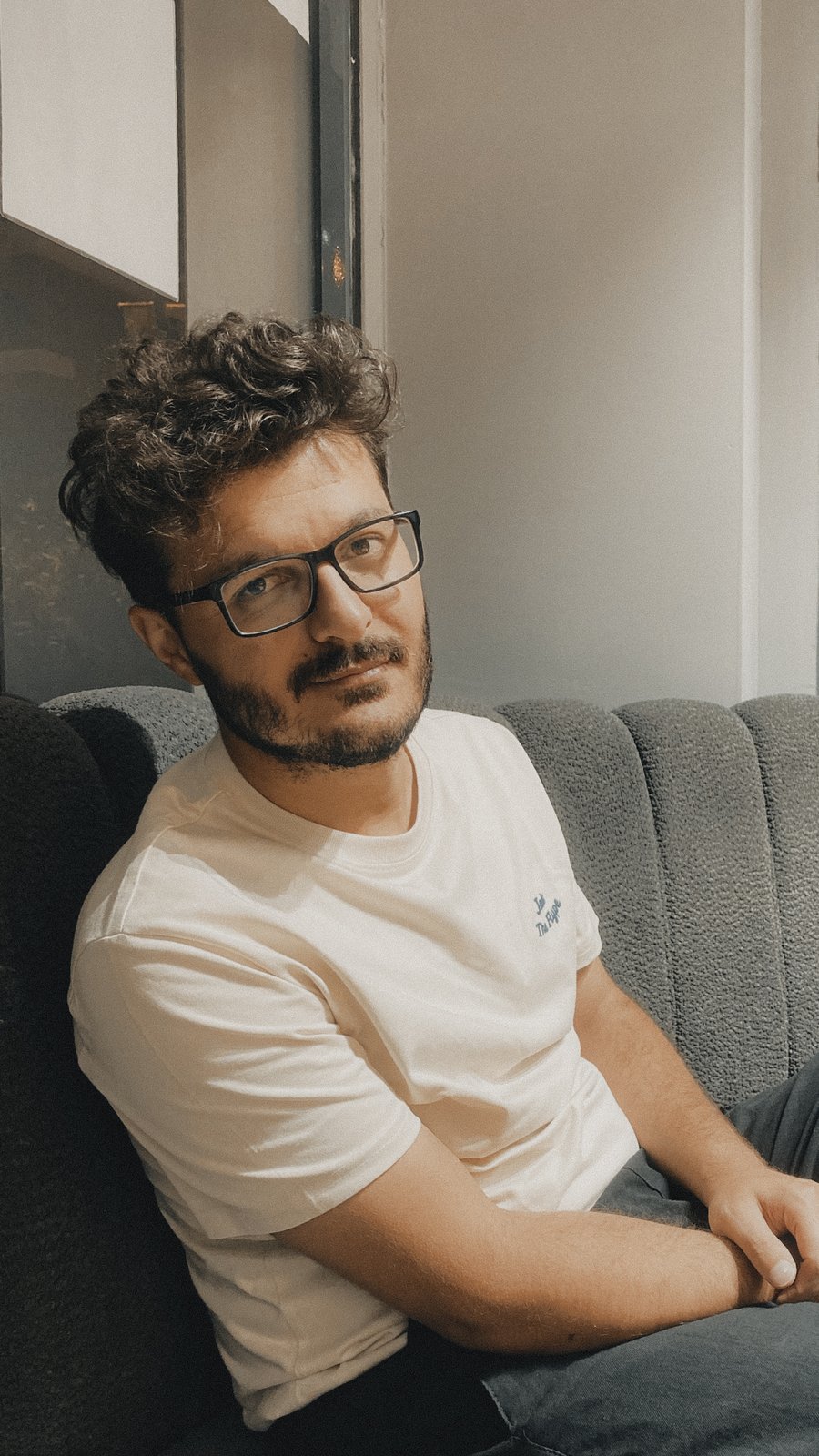
Oğuzhan Köse
Geomorphologist · Maps, data visualisation and spatial analysis
I help people turn spatial data into maps, visuals and answers they can use: for a decision, a publication, a product or a wall.
You bring the question and the data, or just the question. You get finished work: print-ready maps, charts and animations, cleaned and analysed datasets, and short summaries you can act on.
My PhD is in glacial geomorphology, one of my maps is published in the Journal of Maps, and more than 1,000 of my prints have sold in my shop.
What I can do for you
- I need a map for a wall, a book or an exhibition
- Custom maps, large-format wall maps and shaded relief, delivered print-ready. Historical maps restored and given new relief.
- I need maps for a video, a channel or a newspaper
- Map visuals and animations for YouTube, social media and news stories.
- I have data and don’t know what it’s telling me
- I analyse it, find the patterns, correlations and hot spots that matter, and turn them into maps and charts you can present.
- I need to know where
- Spatial analysis: site selection, terrain analysis, risk and hazard mapping.
- I need maps for my company or team
- Maps and visuals for reports, pitches, products and presentations, in your brand’s style.
Research
PhD in Earth Sciences, glacial geomorphology. Open to postdoc positions.
For researchers: journal cover images, graphical abstracts and publication-ready figures.